Santa Fe is a favorite hiking destination for visitors to New Mexico and for good reason! Nestled at the foot of the Sangre de Cristo Mountains, the area has accessible all-season terrain, beautiful views, and varied routes to suit people of all ages. Check out our Foothills Trail map for inspiration.
If you’re an outdoor enthusiast looking to get outside and explore Santa Fe’s natural treasures, here are a few of our favorite local hikes to get you started!
Picacho Peak Trail
3.9 miles
1,329 feet of elevation gain
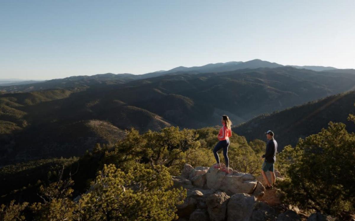
Looking for Instagram-worthy views? Picacho Peak offers huge rewards for the work involved. The hike, which is part of the nearly 25-mile Dale Ball Trail network, climbs one of the highest hills that you can see from town and offers plenty of opportunities for photos. Pro tip: The parking lot at the intersection of Cerro Gordo and Upper Canyon Road fills up quickly on the weekends, so arrive early.
Nambe Lake Trail
6.8 miles
2,093 feet of elevation gain
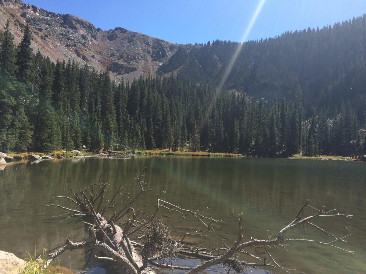
If a challenge is what you’re after, give the Nambe Lake Trail a try. It takes you into the alpine beauty of the Sangre de Cristo Mountains and ends at a pristine alpine lake. There are a few steep climbs involved, but the views are definitely worth it. And you will have no problems with parking as the trailhead starts at one of the Ski Santa Fe lots. Pro tip: Keep an eye out for marmots and pikas that chirp from their rocky perches. Just remember not to feed or touch these wild creatures. Instead, enjoy them from afar.
Bandelier National Monument area
Various options for mileage and elevation gain/loss
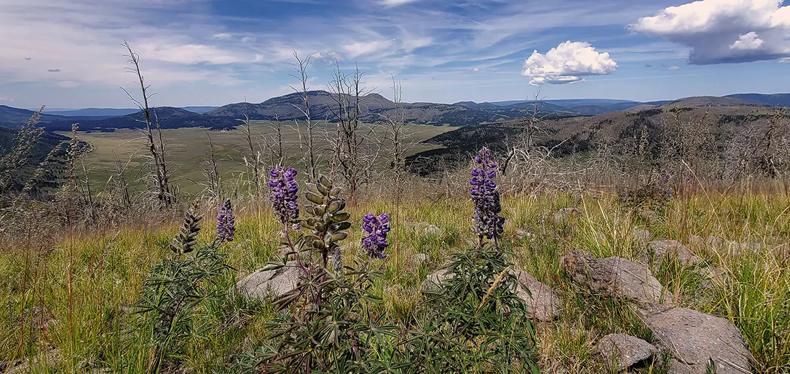
You can go back in time while hiking the variety of trails at Bandelier National Monument, which feature ancient cliffside dwellings, caves, wooden ladders, petroglyphs, and ruins, including the main Pueblo Loop Trail and its 850-year-old Ancestral Pueblo metropolis. Popular stops include Big Kiva and Alcove House, a large recess resting 140 feet above the floor of Frijoles Canyon, accessed by climbing four wooden ladders. Another idea is the Falls Trail, which is beautiful at all times of year, but particularly during spring runoff. It's a 400-foot descent into a canyon and a 1.5-mile-out-and-back to witness these free-flowing falls. Or you could go on a great explore with this guide to alternate trails in the area, including those in the Valles Caldera. And don't miss the Tsankawi Trail, along a narrow mesa of solidified volcanic ash—look out for petroglyphs!
(Photo courtesy of NPS)
Kasha-Katuwe Tent Rocks National Monument
1.2 - 1.5 miles
up to 800+ feet of elevation gain
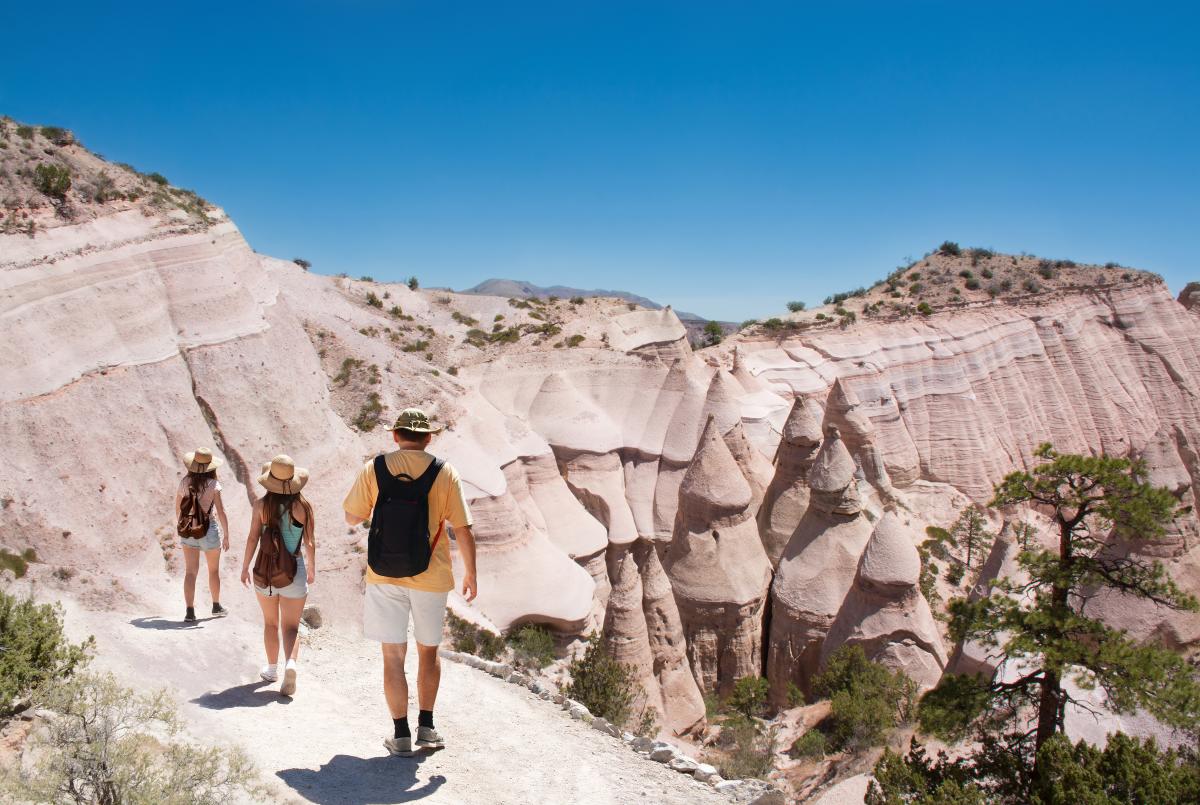
Kasha-Katuwe Tent Rocks National Monument, managed by Cochiti Pueblo, offers visitors a full immersion into the geological processes that shape the unique natural landscapes found across Northern New Mexico. The cone-shaped tent rock formations, created by volcanic eruptions that occurred over six million years ago, present an otherworldly hiking experience. The 1.2 mile Cave Loop Trail is rated an easy walk, while the more difficult 1.5 mile Canyon Trail offers a steep climb to the mesa top, yielding stellar views of the Sangre de Cristo, Jemez, and Sandia mountains. Pets are not allowed. Plan ahead by making reservations and purchasing a Cochiti Pueblo Tribal Access Pass.
Ancestral Sites Trail
1.25 miles
80 feet of elevation gain
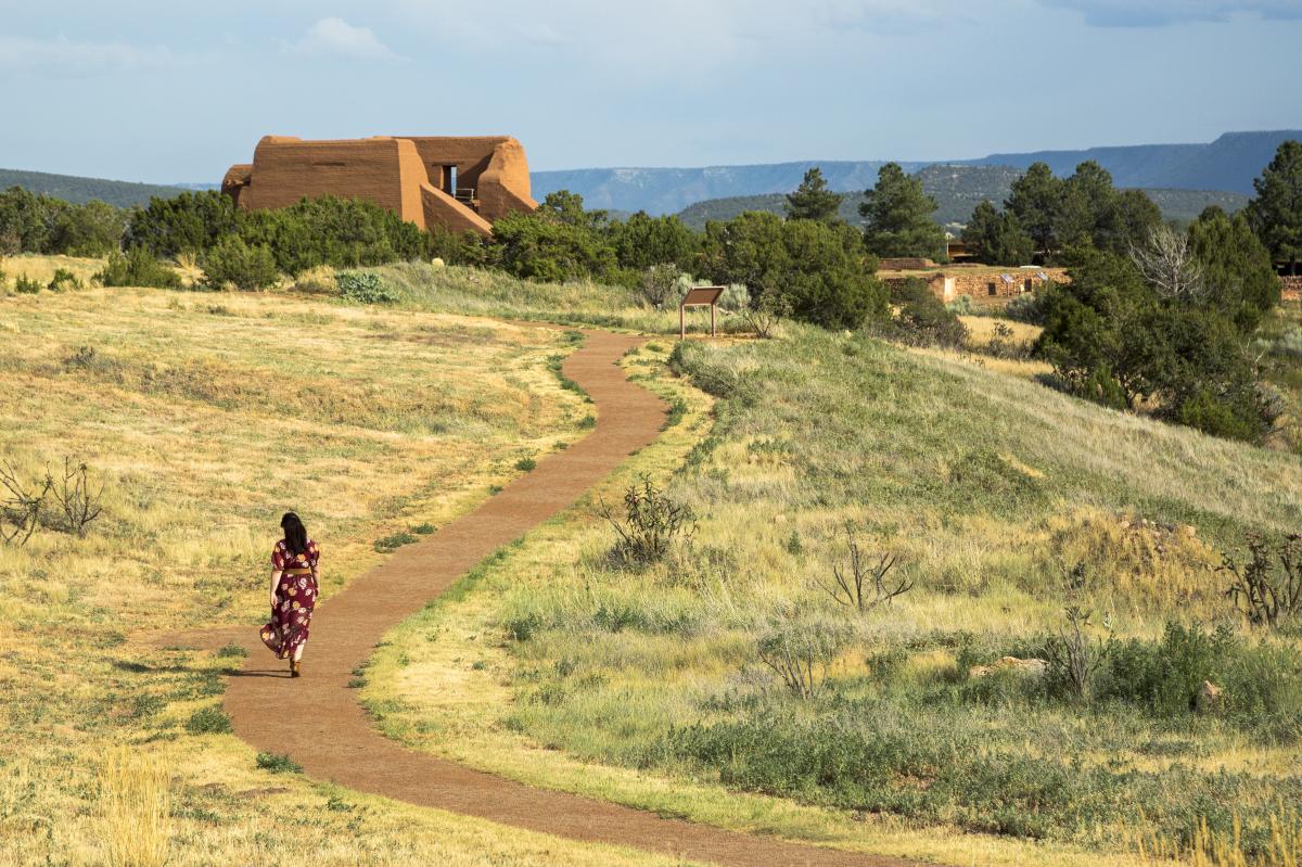
About 17 miles southeast of Santa Fe, this short walk through Pecos National Historical Park will take you right to the remains of what was once the largest Indian pueblo in the Southwest. Pro tip: Make sure to schedule a ranger-guided tour to explore limited access areas like Forked Lightning Ranch, the Santa Fe Trail, and the Civil War Battlefield of Glorieta.
Atalaya Mountain Trail
5.8 miles
1,776 feet of elevation gain
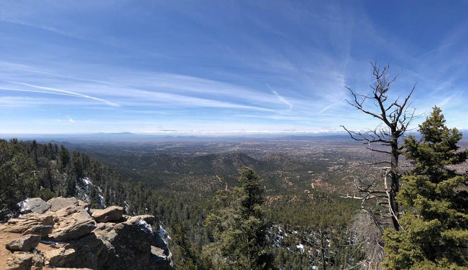
Do as the locals do and give the Atalaya Mountain Trail a go—if you’ve got what it takes, that is. This challenging trail starts from a trailhead at St. John’s College and continues for a few miles through ponderosa pines, junipers, and piñons until you reach the top. There, you’ll be rewarded with expansive views of Santa Fe, 2,000 feet below. Pro tip: Shorten the trek by setting out from the Ponderosa Ridge trailhead if you’re a bit crunched on time.
Diablo Canyon Recreation Area
6.0 miles out and back
minimal feet of elevation gain
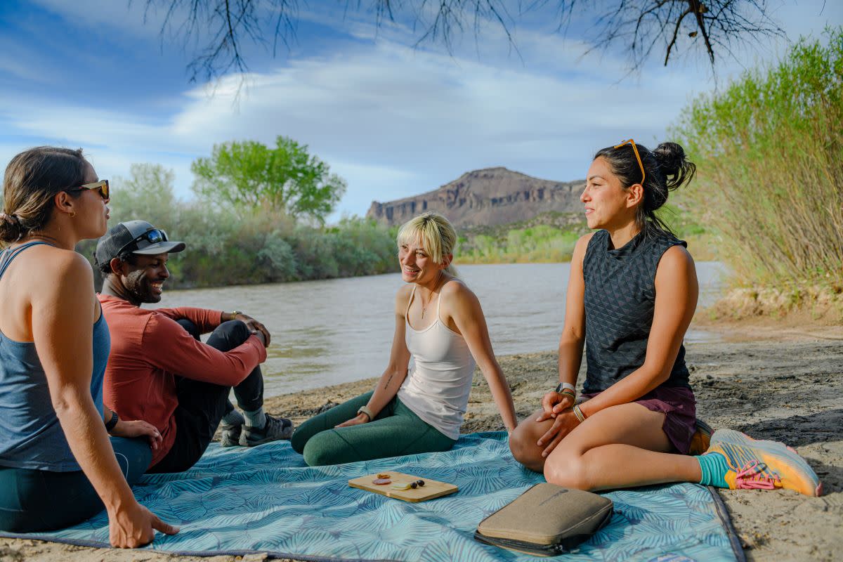
Quiz yourself: In which movies have you seen this dramatic area? We're not telling! Popular with sport climbers and hikers alike, the Diablo Canyon Recreation Area is a vast sandy wash that offers any number of avenues leading all the way to the Rio Grande River. Bring your sunhat and water and spy for the climbers testing their limits on the towering basalt cliffs that surround you. Pro tip: Even if you do not reach the Rio Grande, you can still have a great time ambling the peaceful canyon.
Get a taste of The City Different! Order your Official Santa Fe Visitors Guide now or browse our deals and specials to help you plan your next trip to Santa Fe.


